
Tag:country

“The introduction of a few rabbits could do little harm and might provide a touch of home,” Thomas Austin
Rabbits!
Thomas’s love for rabbit hunting resulted in a plague of rabbits across Australia. To prevent the spread of rabbits from the eastern states into Western Australia, the Rabbit-Proof Fence was constructed between 1901 and 1907. Thomas, a member of the Acclimatization Society of Victoria, introduced non-native animals and plants to the colony, such as blackbirds and partridges.
National Trust
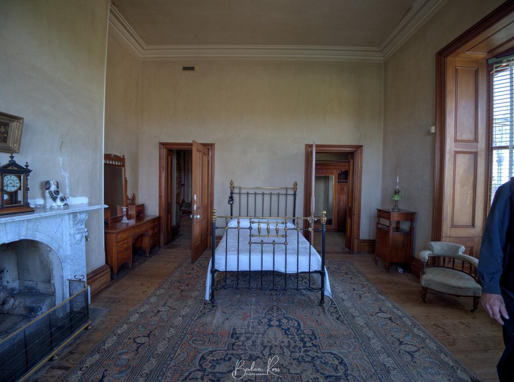
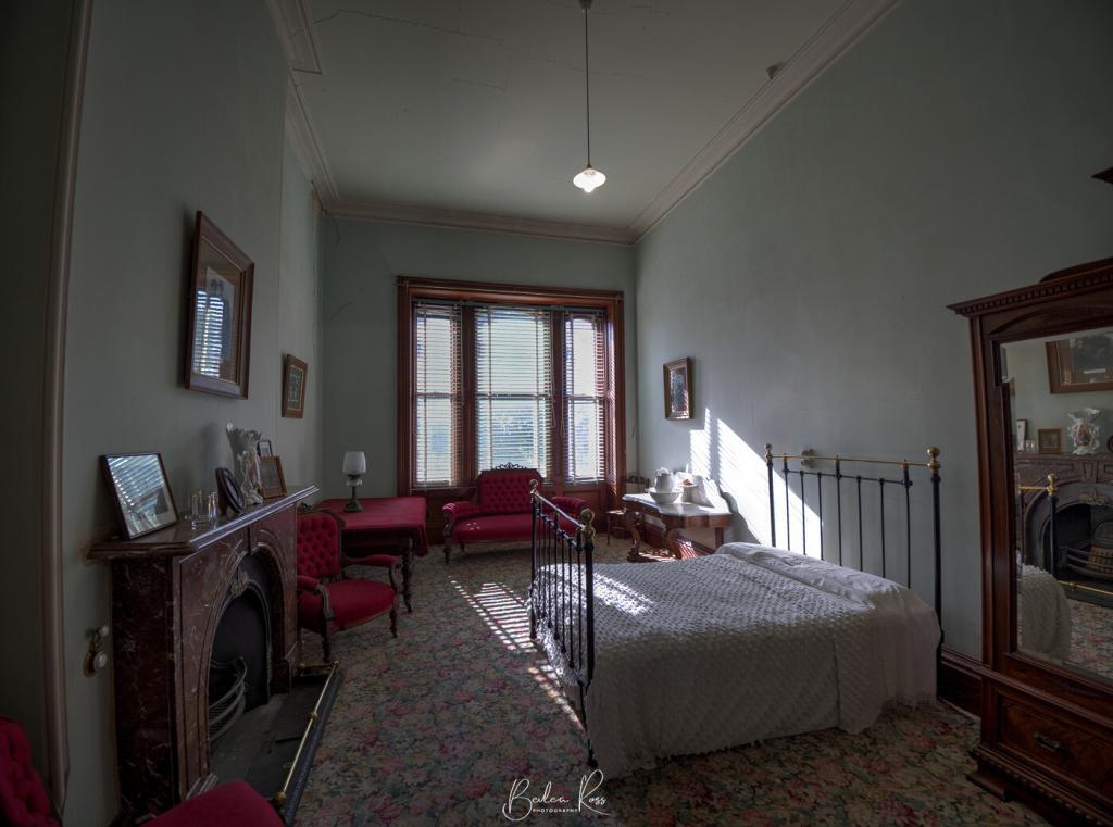
In 1912, the house was sold to the Batson family, who later bequeathed it to the National Trust. At the time of the bequest, the house was still largely intact but had fallen into serious disrepair. Much of the furniture, artworks, and silverware had been sold off to provide income for the two sisters and one brother who remained in the house. The National Trust has since repaired the mansion and furnished it with furniture that was either original to the house or from the same time period.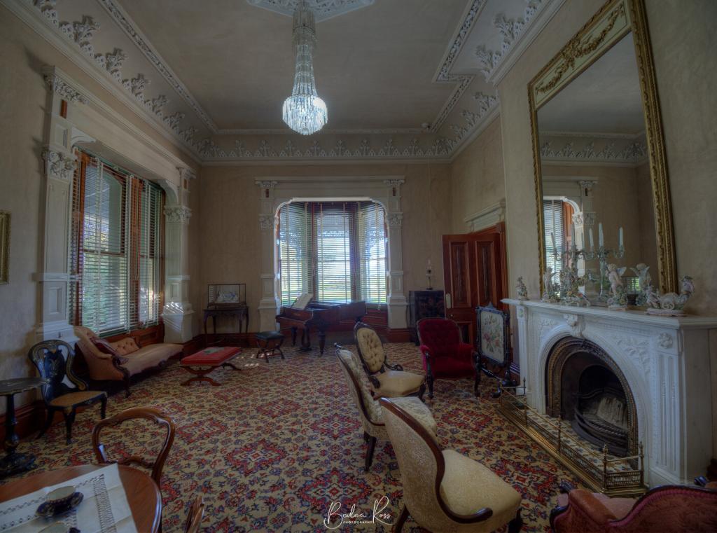
The Grand Staircase
The staircase was the first of its kind in Australia. It led directly up the center of the hall and then branched left and right, rather than being on the side of the hall, as was the norm. Although it looks exactly like the one at Werribee Mansion, it was built three years before Werribee Mansion. Therefore, the Austins were the ones to introduce this style to Australia. The staircase was also built with much wider steps than normal to allow the ladies to descend gracefully and make a grand entrance. Downstairs, there is a sitting room, a drawing room, a dining room, a butler’s pantry, and a serving room. The kitchen was located on another level down, and food was sent up to the serving room for the servants to plate up. The butler would then take it to the table.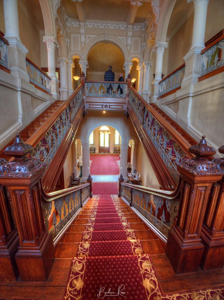
Address:
Barwon Park Mansion: 105 Inverleigh Road, Winchelsea 3241 VICOpen:
Open Wednesday and Sunday, 11 am to 4 pm. Tours run at 11am, 12pm, 1pm, 2pm and 3pm. Group tours are available by appointment. A Virtual Reality headset is available for mobility-impaired visitors courtesy of the State Trustees Australia Foundation.Cost:
National Trust members: Free Adult: $10 Concession: $7 Child: $4 Family (2 adults + 2 children): $20
A few weeks ago, we headed off to Mortlake in the western district, for a weekend away. Its only 235kms from Melbourne on the Hamilton Highway. We headed off Friday morning, stopping in Geelong before continuing our journey, looking for dry stone walls that are plentiful in the area. This is because the site has around 80 or so extinct volcanos in the region, creating a considerable amount of paddock stones.

We drove to Pomboneit-Foxhow Road in Pomborneit North and found a quiet road wholly lined with stone walls which the western district is known for. There had been a lot of rain in the area the days before, and the ground was saturated. And so was I when I got back to the car. Bad idea to wander around in Ugg boots. I ended up changing into my waterproof hikers when I got back to the car. I know, I should have had them on to start with.

Arriving in Mortlake, we headed to our accommodation, settled in, and then went out for dinner at Macs Hotel. Small pub, but great food and good service. After dinner, we went back to the accom, grabbed our gear, added another ten layers (it was freezing) and set up at the old Mill for some light painting and to shoot the milky way.


The cold eventually drove us back indoors, and we were all in bed reasonably early. We planned to be up at 5 am to go for a sunrise shot at Dunkeld. If we thought it was cold that night, it was freeeeezing the next morning. The windscreen was iced over and took ages to clear. We were on our way but about 15 mins behind schedule with an hour drive in front of us. Pitch black roads and countryside, eyes on alert for suicidal kangaroos. We made it to Dunkeld just in the nick of time. Our goal was to shoot the morning light at the Dunkeld Arboretum with Mt Abrupt in the background. Sunrise was pretty ordinary, and we were all freezing with the ground frozen over. But no one left until they all had the shots they wanted 🙂

The rest of the weekend passed without anything noteworthy. Clouds rolled in that night, so no Astro. It was also too cold for light painting outside, so we did a little inside with LEDs before falling into warm beds for a good night’s sleep.
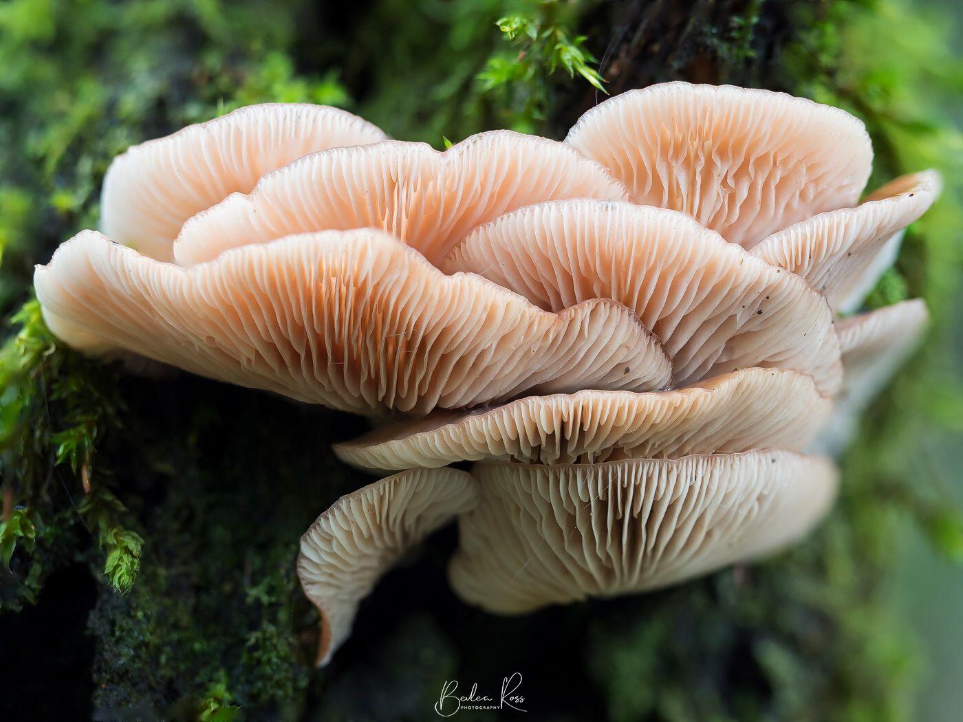
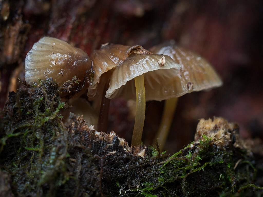
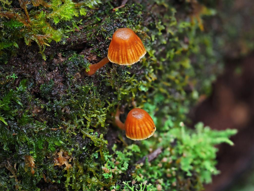
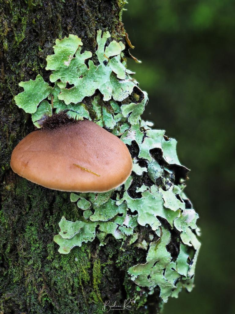
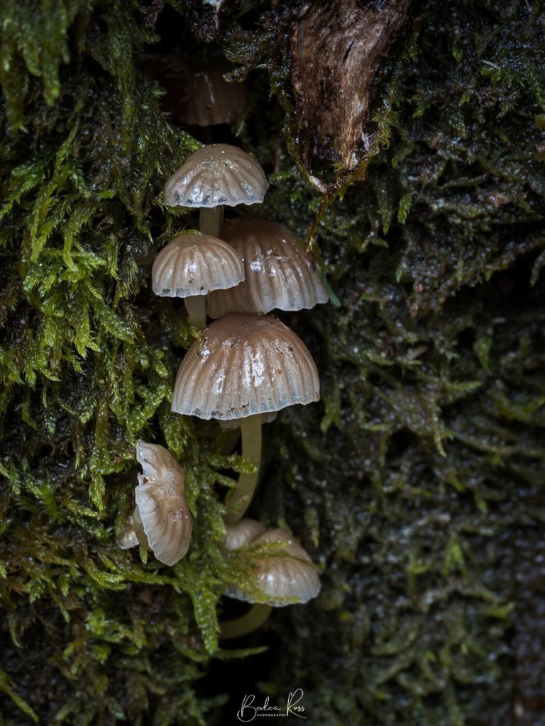
This week, along with three fellow photographer friends, we had planned to do some Fungi Hunting at Mt Macedon. So, we rugged up against the weather and headed to Sanatorium Lake at Mt Macedon. Weather-wise it was clear, with only slight showers, but it was 6C at the lake. Cold, cold, cold. That kind of damp, chilling cold that just seeps into your bones. Rugged up like Michelin people, we left the car and headed for the lake. The track was easy to follow, muddy, but not too bad.

On the hunt
We slowly walked along the path, eyes swivelling back and forth, looking for fungi and checking the sides of tree trunks and deadwood lying on the ground. When we found one, we noticed that there would be others in the immediate area. Never saw a single one by itself. We went off the path into the scrub in several areas where we spotted them. Some were just too hard to photograph either because they were inaccessible, way up a tree, or the tree was on such a slope that we needed to be mountain goats to position the tripods and shoot them.



Focus Stacking
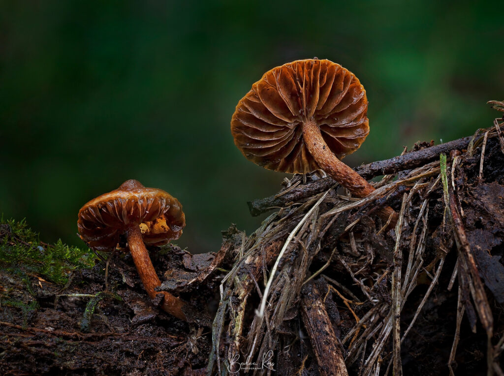
I was shooting with the Olympus OMD EM1 Mark II, giving the new 60mm Macro its first real run, and trying out Focus Stacking for the first time on the Olympus, which worked fantastically! I just love it; it creates eight images at different focal lengths, then merges them in-camera into a single image (jpeg) that’s (theoretically) sharp front to back. Considering these were taken on a macro, which usually has a very narrow depth of field, it worked great. I can’t wait to try it on the 12-40 for landscapes. You end up with eight jpegs, 8 RAW and the blended jpeg. As I prefer to work with RAW files, I deleted the jpegs when I downloaded them to the computer and then blended the RAW files in Photoshop.
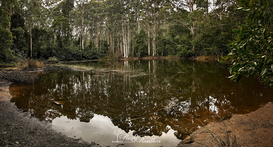
By around 1.30 pm – hungry and chilled to the bone, we headed back to the car, grabbed our picnic lunch and headed to one of the picnic tables. We quickly ate our lunch and then dived back to the warmth of the car for the trip home. We had a fabulous morning, we all got a great crop of images, but all need warmer winter gear 😉

Once a year, hubby and I make our annual pilgrimage to King Valley Camp, visit friends, take photos, cruise the wineries, and have some ‘downtime’. And with no internet at the camp, downtime is total. So I found myself driving down the road each day and pulling up to the side of the road to catch up with emails and FB. Shocking, I know.
Rain, Rain, go away
The weather forecast for the weekend was rain, but we were lucky with no rain except late at night when we were all in bed. So we could do a bit of travelling around during the day.

On Friday, we drove up to Powers Lookout. Named after the bushranger who reputedly had a camp there in the 1860s, he used the high vantage point to watch for approaching troopers. We usually just stop at the upper lookout and take a few shots.
Powers Lookout
This time, feeling a bit stupid and adventurous, I decided to try the ‘other’ northern lookout. The steps seemed ok at the start, heading downhill via steps cut into the rock, but ok. Then they got steeper, massive, single steps where really two would have been better. The stone steps kept going down, then changed to steep metal stairs, shimmy through a gap, past a big rock in the middle of the path (glad I hadn’t had lunch yet), then UP metal stairs to the northern lookout. (I should have stopped and taken photos of the track, but I was saving my energy to keep the lungs and legs working)

The northern lookout gave a different and better view, so the walk was worth it. But OMG I paid for it the next day with very sore legs. So we shot off quite a few photos, then started the trek back, with lots of stops along the way to catch our breath, admire the view.


Chrismont Winery
From Powers Lookout, we headed to lunch and then Chrismont Winery. It’s a beautiful building that won a design award and offers magnificent sweeping views of the valley from the tasting room. I may have liberated a couple of bottles of their delicious Prosecco while I was there.


That evening we played with some light painting, new toys, trying out various ideas.


We did see some rain that night, but the following day was lovely and sunny again. We enjoyed a slow start to the day and then headed up the road to Lake William Hovell. Fabulous reflections and very quiet, we had the place to ourselves, apart from a few fishermen.


We had planned to do more light painting that evening, but the rains really came down not long after dinner, and we were futilely huddled under the awning waiting for them to pass, which they really didn’t. The Olympus held up well in the rain, but I found that the wi-fi to my iPhone doesn’t work too well when I have cold, wet fingers. So mental note to self, make sure I have my wired remote in my bag!

I knew whip-cracking existed. I’ve seen movies. However, I never really thought about it. Or considered it still an art practised today, especially a competitive one. But due to a demonstration by three very talented young whip-cracking wonders I am now educated.
Whip Cracking Competitors
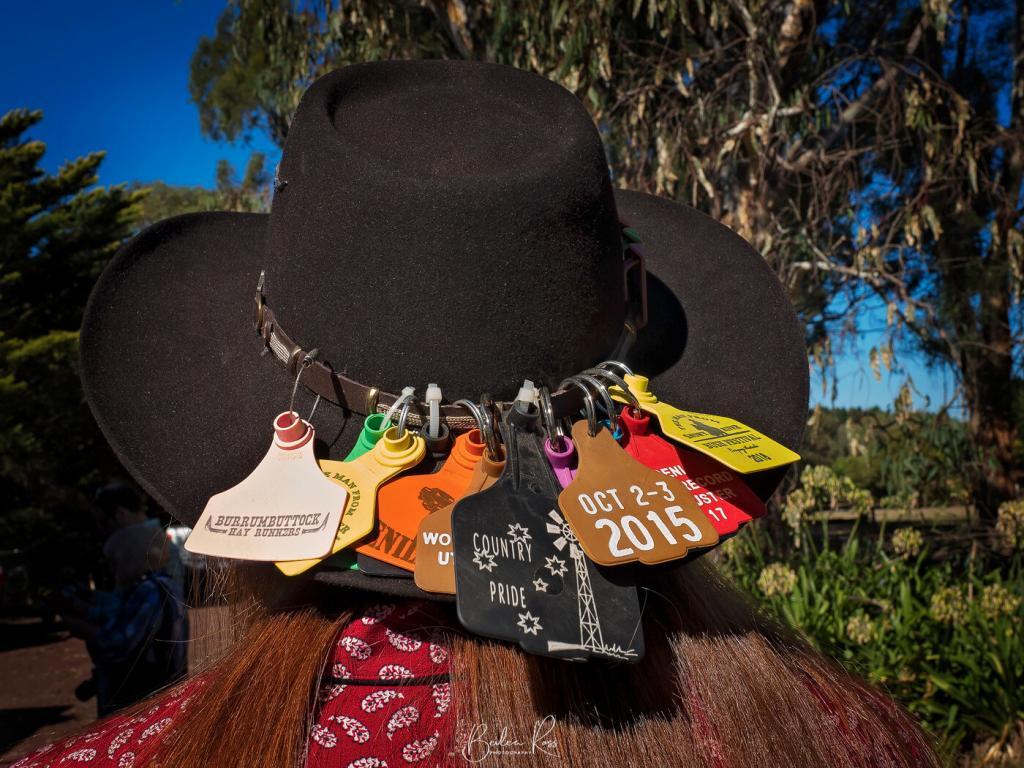
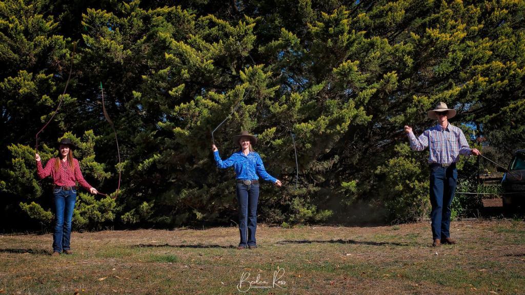
Led by Madi Buzza and assisted by sister Keira and close friend Cody, our group was treated to an hour of their whip cracking skills. The trio also travels around Australia, attending festivals and competitions or demoing and teaching. Madi’s hat was evidence of this. It’s a virtual ‘map’ of her travels as a contestant.

West Side Whipcrackers
Nineteen-year-old Madi has been whip cracking for five years. Younger sister Keira, at 15 yrs old, has been cracking for four years. Cody became the third member of their little group. The trio became firm friends after meeting at an event last year. Sixteen-year-old Cody has been cracking for 12 months. The three are members of West Side Whip Crackers, a branch of the Australian Whipcrackers and Plaiters Association.


Stop off at the Deniliquin Ute Muster if you are up Deniliquin way in September. The Whip Cracking Wonders will be competing there at the NSW Whipcracking titles. It’s well worth seeing!

Wilsons Promontory National Park, or ‘The Prom’, as it’s affectionately known, is the southernmost point of mainland Australia. It’s also a top-rated destination. It has stunning coastal scenery, pristine wilderness, massive granite mountains, open forests, rainforests, sweeping beaches, and abundant native wildlife. It serves to make Wilsons Prom a photographer and holiday delight.
Accom at the Prom
Accommodation ranges from camping, and caravans to huts, cabins, and lodges. The prom has become so popular in recent years that it has its own manned police station in the summer months at Tidal River. It’s a far cry from my first visit 35 yrs ago. There were no amenities for campers save for a lonely toilet block back then.

Yanakie
We stayed in Yanakie just outside ‘The Prom’ on this visit. The main reason is that the caravan park was right on Corner Inlet. So if the weather gods were kind to us, we could get sunrise right outside our cabins without leaving the park. Some of our group took that to heart and came out to shoot the sunrise in jammies, only a few feet from the cabins. Why get dressed? 🙂
The weather gods did indeed smile on us. We had a magical sunrise on Saturday morning from blue hour, red skies and golden hour.


Tidal River
After a hearty breakfast cooked in our cabins or the bush kitchen for those camping, we headed into the park and made our way to Tidal River. Following the sunrise, it had rained, but the sun was now out, and we had stunning blue skies (prom weather is highly changeable) The temp climbed to around 30C. We were all melting. sun hats, sunnies and find shade became the order of the day


By the time we got back to the general store for lunch, the weather had turned again. The temp had dropped around 10°, and we were all reaching for the jackets we discarded earlier.
Squeaky Beach
After lunch, we headed to Squeaky Beach, so named as the fine sand squeaks when you walk on it. By now, the weather had indeed turned, and a storm threatened, so our time was limited. Nevertheless, the sand had a fabulous array of colours, and little streams led across the sand to the water.

We stopped off at Picnic Bay lookout – didn’t do the walk as it looked too long with the skies threatening.
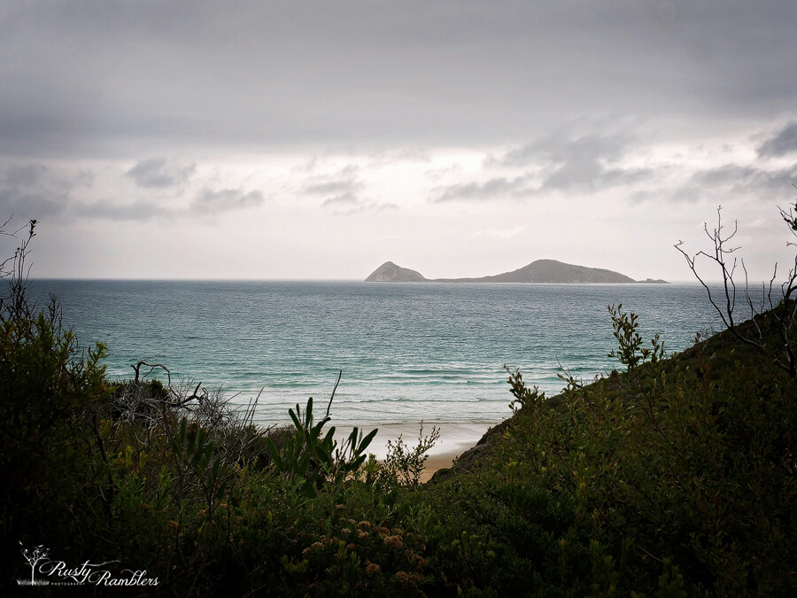


Agnes Falls
The weather wasn’t kind for either sunset or sunrise the following day. However, we decided to call in at Agnes Falls on home from Wilsons Promontory. Considering it was the end of summer, the amount of water flowing over the top wasn’t too bad.


The O’Reilly’s, were in the right place, at the right time, during a few pivotal moments in their lives and Australia’s history, including the loss of the Stinson. Setting up a dairy farm four years before the land around him was declared a National Park and then later a World Heritage-listed area ensured they had the Green Mountains virtually to themselves. In 1937 a Stinson aircraft with seven people on board disappeared en route from Brisbane to Sydney. A massive search for the plane was launched, but based on conflicting eye-witness accounts, the search area was 800kms south in the Hawkesbury region. Days later, the search was abandoned.
“The rescue of survivors of the Stinson plane crash 80 years ago was an iconic moment in Australian history, but the man behind the feat never felt he was a hero”
Damien Larkins, ABC News.

The Loss of the Stinson
Bernard O’Reilly believed he had seen the plane fly over his brother’s nearby farm. However, he was convinced it hadn’t crossed the border into NSW, so he searched on his own. Making his trail through dense rainforest and up the steep terrain of the McPherson Range, relying solely on his bushman skills, he found the wreck two days after he set off and 8.4kms from the O’Reilly property. The Stinson pilots and two passengers had died. Another survivor died going for help, leaving just two. Of the two remaining survivors, one had a broken leg. The other was severely burnt from the fire that engulfed the plane when it crashed.

The Rescue
Bernard boiled the men a billy tea and gave them food before heading back down the mountain at night. He waded through creeks and hacked his way back down the mountain through the dense rainforest. Thirteen hours later, he reached a farm where he was given a horse for the rest of the journey. Arriving back, he organised a rescue party and doctor. Then led them back to the crash site and helped bring the survivors down on stretchers. Talk about a feat of endurance!
A movie called ‘Riddle of the Stinson’ was made of the rescue starring Jack Thompson playing Bernard O’Reilly and the legend of the Stinson lives on with O’Reilly’s & The Stinson forever linked.

In the 1980s, the Australian Army removed much of the wreckage via helicopter. However, the skeletal remains of the aircraft are still there. This forms part of a hiking trail for very experienced and very fit bushwalkers.

Tree top walk
It was our last day at O’Reilly’s, so we headed off for the Tree Top Walk after breakfast. With Carole now on a walking stick instead of crutches. A series of nine suspension bridges soaring up to 30 metres off the forest floor. The walk is just across the road from reception and was the first of its kind in Australia. The boardwalk through the rainforest leads to a fig tree, the start of the bridges. It was drizzling, and the forest was shrouded in mist as we started. However, by the time we got back, the sun was shining.

We went for a massage and foot treatment at O’Reillys Lost World Day Spa in the afternoon- a fabulous treat.

Last night at O’Reilly’s
That evening, with Carole now off the crutches. We headed upstairs to the Rainforest Bar for our last happy hour and one and only sunset, followed by dinner and an early night. We were off down the mountain to Springbrook National Park and the Gold Coast the following day.

It was our last full day in Queensland before heading home the next day, and we decided to drive down to Byron Bay, see the lighthouse, and visit the Crystal Castle. Set in the hinterlands above Byron Bay, Crystal Castle and Shambhala Gardens and rainforest with massive crystals brought across South America.
Byron Bay
We woke to beautiful sunshine. At around 5 am again. I had breakfast on the balcony and read for a while before heading off towards Byron Bay at around 8.00 am. It’s only 90 mins from the Gold Coast, and we were there by about 9.30 am. Arriving in Byron Bay, I couldn’t get over how busy it was. There were people out and about and heavy traffic everywhere. Don’t people sleep in Queensland? Heading up to the lighthouse, people out walking, pushing prams, jogging, I have never seen such activity at a lighthouse. It was like it was the central meeting point for everyone in Byron Bay. And it was only 9.30 am!

Byron Bay Lighthouse
The lighthouse has around three car parks, each higher and closer to the lighthouse than the last. We drove up to the top one the parking attendant!? directed us to an empty spot. So we got out, donned hats, grabbed cameras and joined the throng to walk up to the lighthouse. The lighthouse itself is a beautiful little castle-like building at the base with battlements overlooking turquoise and blue sea. We wandered around and down the other side to get shots from the lower vantage point.

Crystal Castle
We stopped for morning tea from the lighthouse, then headed up into the hinterlands. Just 20 mins from Byron Bay is the Crystal Castle and Shambhala Gardens. Entry is $25 and totally worth it. A memorial gate to Tori Johnson is inside the gates, donated by his family. Tori was tragically killed in the Lindt Cafe Siege in 2015.

I would have liked more time here to take in some of the daily events… we missed the music of the plants as by the time we had walked around the gardens, it was quite warm, and we wanted a chair and cold drink 🙂


The Stupa
The gardens are quite large, and to be done properly, and you really need a full day here. We stopped at the Peace Stupa and availed ourselves of the umbrellas dotted around for protection from the rain or sun while we enjoyed the music emanating from the Stupa.


with our walk around finished. We enjoyed a delicious lunch in the cafe before enjoying some retail therapy in the crystal shop. From there, it was back to the car and back to the apartment.


Our last night on the balcony, we finally took some night shots of the city lights. The next morning it was pouring with rain, and all the next week too, but we were home by then 🙂

Murphys Law was running true to form as we’d had four days of misty, cloudy mornings up at O’Reilly’s. The day we left to head to Springbrook National Park, and the Natural Bridge was blue skies and bright sunshine. Waterfalls are never good in bright sunlight.
We set off back down the winding, narrow road to Canungra and then diverted to Springbrook, arriving around 11 am. The walk to the Natural Bridge is a loop. With the recommendation to do it in a clockwise direction or else you have a lot of stairs coming back up, we were still worn out (and hot) by the time we got back up, but doing it clockwise was better. There were a lot of steps going down, and I would not have liked to do all those stairs in reverse!
Natural Bridge

By the time we got to the Natural Bridge at Springbrook National Park, the sun was high in the sky, and the rock opening was being hit but loads of sun. It blew out the highlights even with five image HDR stack. We did find some interesting mushrooms growing on a log on the way back.
Fungi


Leaving the Natural Bridge, we turned left instead of right, and a few kms down the road came to the border. a quick photo stop before we turned around 🙂
Borders


We stopped for a quick lunch and then headed to the ‘Best Of All Lookout’, yep they really called it that. The walk to the lookout was an easy 350 metres through the rainforest.

Goomahlara Falls
Our last stop before we headed down to Surfers Paradise was Goomahlara Falls. It’s an easy 200m walk from the carpark that brings you to a little lookout with the waterfall off to the side, and you cant get to the bottom—crappy point of view for a photo. Heading back to the carpark, Carole left the path, and we headed through the scrub to the stream. Goomahlara Falls, which made a much nicer shot 🙂


the edge of the rocks drops off to a sheer cliff, so this was as close as we went. From here, we headed down to our apartment in Surfers for the next four nights. We had chosen one with a city view, and I was hoping to get some nice night shots and maybe a timelapse

We were still at O’Reilly’s in Lamington National Park, and with Carole on crutches today, we did a more sedate 4WD trip this morning with Matt to Moonlight Crag and then to Luke’s Farm for damper and billy tea. Matt kept an interesting and informative dialogue as we passed certain spots, including stopping for us to shoot a massive Coastal Carpet Python.

Moonlight Crag
We stopped at Moonlight Crag, but there was so much low cloud that we couldn’t see anything—we were completely socked in. The view over Lamington National Park is great when you can see it. Having no joy there, we continued to Luke’s Farm. This was lower down the mountain, so we were below the clouds. Now, the view was fabulous from here.

Matt made a fire and started boiling the billy. Morning tea was billy tea or coffee and damper with butter, delicious!


The Noisy Miners are well used to people calling in with damper, and they didn’t take long to turn up and start waiting for crumbs. With morning tea done, Matt drove us back to O’Reilly’s.

Birds of Prey Show
In the afternoon, the skies cleared, and the sun appeared. With Carole still on crutches, we headed over to the Birds of Prey show, parking as close as I could for her; she still had to hobble along a gravel path. The show was only about 30 minutes but quite good, with the bird handler very informative and full of humour.


We were still Rambling The Outback. After a very comfortable night’s sleep in the big king-sized beds at Mungo Lodge, I was up around 5.30 and out the door just after six. Along with Lisa and Amy, we jumped in with Roy and Julie and headed off to the Mungo Lookout for a sunrise. The location was average. It was recommended to us by John at reception as a good sunrise spot. It was for viewing the sunrise. But for, shooting a sunrise it left a lot to be desired. There is no foreground interest and miles and miles of endless flat plain to the sun on the horizon. In the future, when someone recommends a spot to me, I will ask, “are you a photographer” if the answer I no, I will disregard them!

Once the sun was up, we drove down to the Historic Shearing Shed just a few minutes down the road.
The woolshed


Paddy Melons
After about an hour, we headed back to mungo lodge for showers, breakfast and checkout. Breakfast was a delicious cooked buffet in the restaurant. Leaving Mungo, we came across Paddy Melons growing beside the road.
Paddy melon (Cucumis myriocarpus) and Afghan melon (Citrullus lanatus) is both prostrate annual melons germinating in spring and summer. Their growth is favoured by good moisture relations and bare or fallowed paddocks. Melons can stabilise areas prone to wind erosion and provide stock feed when food is scarce (although opinions vary greatly). Horse, sheep and cattle losses have been associated with eating the melon, but the smell of the plants generally makes them unpalatable. Dept of Agriculture


Dirt Roads
From Mungo, we were heading first to Balranald and then onto Swan Hill. Between Balranald and us lay 154kms of dirt road. According to google maps, it’s a 5-hour drive. Maybe they assume you are driving a horse and cart as we did it in just over 2 hours. Just out of Balranald, we finally got the bitumen back.

Swan Hill
We stopped off in Balranald for coffee and comfort stop and were then on our again. Finally, driving on lovely bitumen, we arrived in Swan Hill around midday. I popped into the motel and made sure all was ready for the arrival of those travelling behind us. Then headed over to the Pioneer Settlement and organised the tickets for the evening light show, settlement entry, and Pyap Paddlesteamer ride. We wandered around the settlement for a while, bumped into a few of the group who had arrived, took a paddle steamer ride and then headed back to the hotel to relax for an hour before dinner.

Dinner was at Spoons Restaurant beside the settlement. Sitting outside on the deck, the sky started to turn a glorious orange-red. Everyone started looking and then dashed off for a couple of shots with phones—fantastic sunset, and most of us there without cameras.

After a delicious dinner, we headed over to the settlement for the Heartbeat of the Murray Laser Show. Excellent show using water, laser, and sound, it recently won a prestigious multimedia award. With the closing of the show, we went back to our motel for the night; it was the end of a fabulous week We Got to know some people better and met others for the first time by the close of the week; we had all become closer, had a million memories, and about as many photographs 🙂 The following day it was packed up and headed home and back to ‘real life’. Thank you to all who took this journey with me.

Day 3 of our outback adventure
Our plans for today were Silverton and the Daydream Mine. While I slept through the sunrise, some of the group went out hunting down a good sunrise spot. Elsewhere, two of the group went out tracking down the Indian Pacific as it stopped in town. The morning skies were sunny, blue with a light breeze, but the afternoon forecast the cloud. So it was a free morning for all. Some went to Bells Milkbar, and some checked out the Palace Hotel. Others roamed the galleries. We met up for lunch with part of the crew, and then everyone met at Bells Milkbar to head out to Silverton.

Daydream Mine
The historic Daydream Mine lay between us and our destination, just out from Silverton and 20kms from Broken Hill. Established in the 1880s the mine, and the town surrounding it were once home to around 500 workers, wives, and children. It closed a few years later when the ore ran out—the NSW government heritage listed the site in 1999. Today, above ground, only the foundations of the old town and part of the smelter remain. The road in was around 10km of uphill and down dale, winding dirt roads and through two gates.


Below Ground
After the above-ground tour, we had to gear up with hard hats and lights for the underground section. Three levels underground, down narrow steps (and I do use the term loosely) cut into the rock underground. The entrance tunnel was just a tad bigger than our bodies. If I hadn’t been in the lead behind the guide, I would have turned back with everyone else behind me. But I couldn’t get past them!


It did get taller in parts (small parts) where we could stand upright. But most of the time, the tunnels were about 4ft high. It was built for short people!

Silverton
Back up top, we got our heart rate down and air intake back to normal. Then we headed 6kms down the road to the Silverton Pub. we plopped ourselves in the beer garden, downed a couple of quick drinks, and declined to move. Until tomorrow.

Mundi Mundi Plains
While the others who could all walk (because they hadn’t done the mine either through farsightedness or cowardice) headed off for the Mundi Mundi Plains lookout and the sunset. We stayed put. We were drinking and groaning. Until Bill announced, the sunset was starting to look good. Photographic OCD got us up moving. Just as far as next door where we had a clear view. an off some shots and limped, hobbled back to the pub

Lightpainting
After dinner at the pub the entire group relocated to across the road for some more light painting…no steel wool as Bill was reluctant to start a fire and burn the town down…. but we had fun with LEDs

At the end of the night we took a careful drive back into BH, dodging a few roo’s, rabbits and goats making it safely to our motel. The next morning was to be an early start as we had to be on the road by 7.30am and heading to Mungo……
Coming Up Next Day: Mungo NP and Great Walls of China